

Explore interactive mapping tools for groundwater, wells, aquifers, soils and land-management information within the North Plains region.
Groundwater Interactive Map
Explore Wells and Groundwater Information Across the District
The North Plains Groundwater Conservation District’s interactive map provides public access to well and groundwater information throughout the district. Users can explore well locations, aquifer boundaries, watersheds and other geographic information; review available well records and logs; and access links to related data from the Texas Water Development Board and county appraisal districts.
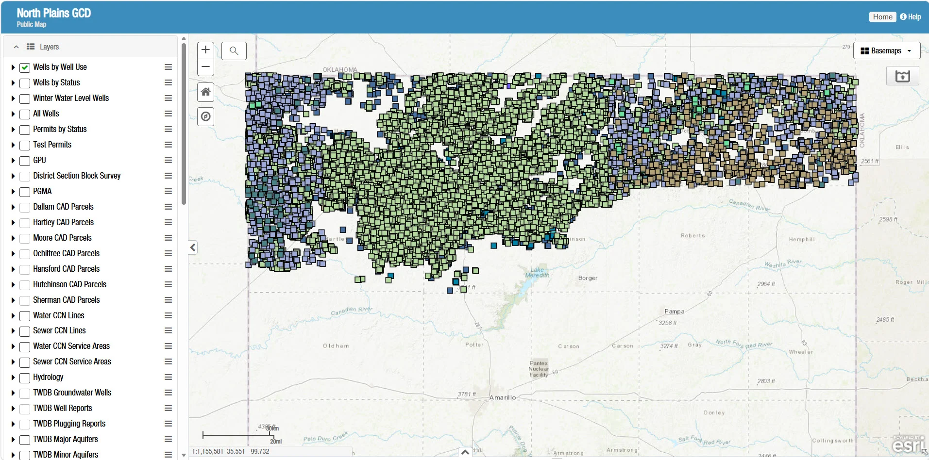
The map also includes tools for generating well reports, reviewing well classifications and pumping capacities, and evaluating potential well locations and spacing. Help videos are available within the map for new users.
Disclaimer
The information displayed in the Groundwater Interactive Map represents the best available data provided to the North Plains Groundwater Conservation District and is offered as a public service. The district makes no guarantees regarding the accuracy, completeness or suitability of the information for any particular purpose and assumes no legal liability or responsibility for its use.
USDA Web Soil Survey
Explore Soil Information for Your Property
The USDA Natural Resources Conservation Service’s Web Soil Survey provides official soil survey information for properties and other selected areas throughout the United States. Users can locate an area by address or county, define a specific area of interest, and view detailed soil maps and descriptions.
The tool also provides information about soil properties, land-use suitability and limitations, ecological characteristics, and other factors that may assist with agricultural and land-management decisions. Customized maps and reports can be viewed, printed or downloaded.
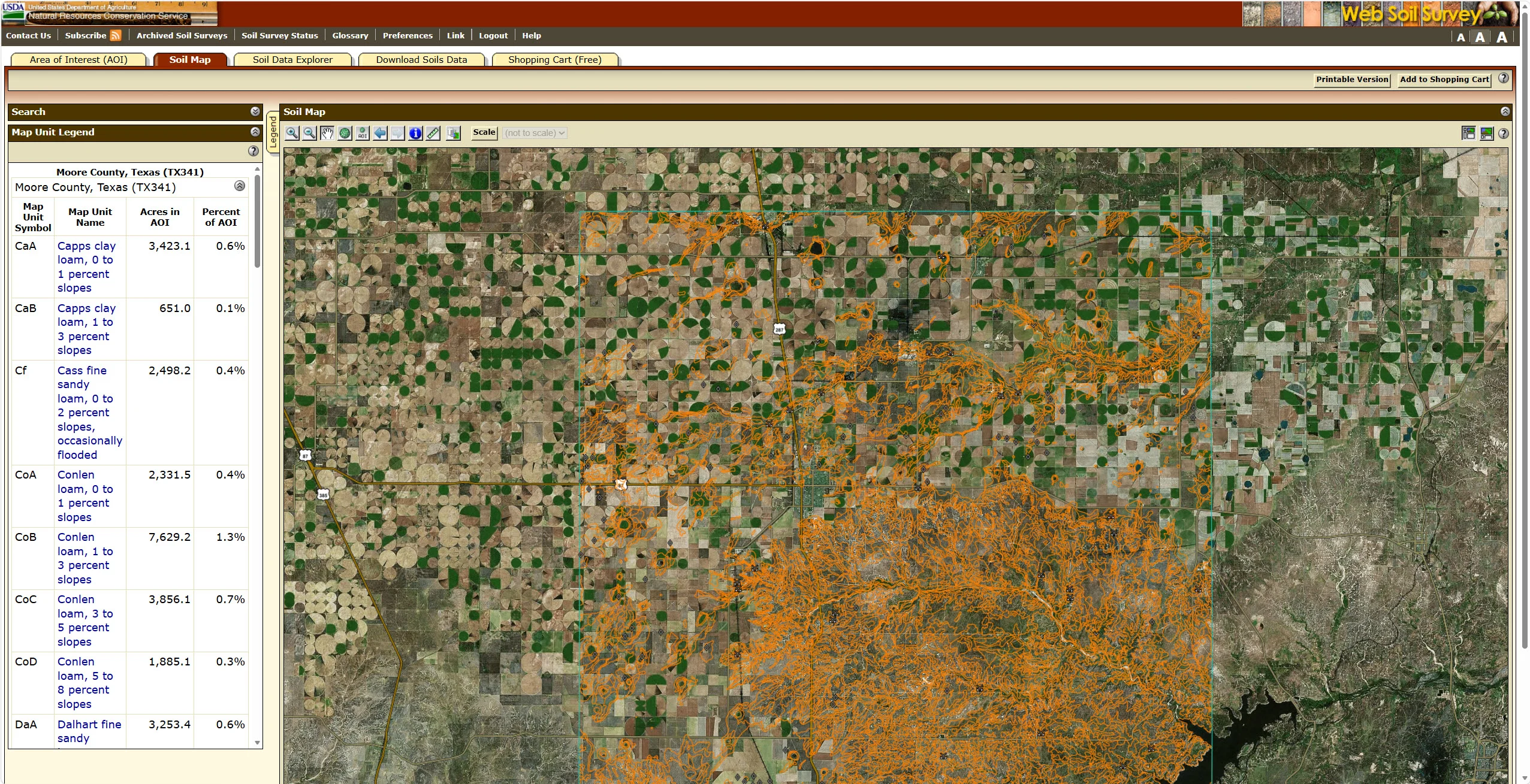
The USDA Web Soil Survey is an external application maintained by the USDA Natural Resources Conservation Service.
